Find Property Records in Kalawao County
Kalawao County property records are handled through a unique arrangement, because the county has no independent government of its own. Searches for parcels on the Kalaupapa Peninsula go through Maui County's assessment system, and most of the land on the peninsula is held by the federal government or the state, so the pool of privately owned parcels is extremely small. This page explains where to look, how the system works, and what records exist for this one-of-a-kind county.
Kalawao County Overview
How to Search Kalawao County Property Records
Because Kalawao County has no county government, property assessment functions are handled by Maui County's Real Property Assessment Division. All parcels on the Kalaupapa Peninsula fall within TMK Zone 2, which is the same zone used for Maui County parcels. To search for a Kalawao parcel, use the Maui County qPublic parcel search portal. You can enter a TMK number, owner name, or location address. Given the very small number of private parcels in Kalawao, a search by location or partial TMK will usually surface results quickly.
The parcel data returned through qPublic will show the owner of record, assessed value, classification, and any exemptions tied to that parcel. For most Kalaupapa parcels, the listed owner will be the National Park Service or the State of Hawaii Department of Health, since those two entities control nearly all land on the peninsula. Private parcels do exist, but they are uncommon given the restrictions that have historically limited private land transfer in the area.
The image below shows the Maui County qPublic property search portal, which is the correct tool for all Kalawao County parcel lookups. If you get no results for a specific Kalaupapa address, it may be because the parcel is held by a government entity under a designation that does not show in the standard assessment database. In those cases, the Bureau of Conveyances or the Hawaii State Archives are better starting points.
Note: All Kalawao County parcels are in Maui County's assessment database under TMK Zone 2; there is no separate Kalawao County parcel portal.
Understanding Kalawao County Land Ownership
Kalawao County is the smallest county in the United States by population. It sits on the Kalaupapa Peninsula on the northern coast of Molokai and was set aside in 1866 as a leprosy settlement under the Kingdom of Hawaii. The physical isolation of the peninsula, which is surrounded by sea cliffs on three sides, shaped both its history and its unusual land ownership patterns. Today, the Kalaupapa National Historical Park, administered by the National Park Service, covers most of the peninsula. The Hawaii Department of Health retains administrative responsibility for some state-owned parcels and for the county itself, since no county council exists.
Because so much of the land is federal or state-administered, the practical reality for anyone researching property records here is that the pool of privately held parcels is tiny. The county has approximately 113 housing units in total. Most residents are current or former patients from the historical settlement, National Park Service staff, or Department of Health personnel. Property transactions involving private parties are rare, but when they do occur, they go through the same recording and assessment system as any other Hawaii county.
Private parcels, where they exist, are assessed by Maui County's Real Property Assessment Division at 70 E. Kaahumanu Avenue, Suite A-16, in Kahului, at (808) 270-7297. The same exemption programs available to Maui County property owners, including the Home Exemption and Long-Term Rental Exemption, apply to qualifying private parcels on the Kalaupapa Peninsula.
Note: Kalawao County has no independent county council or elected county government; the Hawaii Department of Health serves as the administrative authority for the county.
Bureau of Conveyances: Recorded Documents
For any recorded property document related to a Kalawao County parcel, whether a deed, mortgage, lien, easement, or other instrument, the Hawaii Bureau of Conveyances is the primary source. Hawaii uses a statewide recording system rather than a county-by-county system, which means all instruments for all counties are recorded and searchable through the same database. This is different from most mainland states, where recording happens at the county level.
The Bureau of Conveyances operates under the Hawaii Department of Land and Natural Resources. Its RecordEASE database allows online searches by grantor name, grantee name, or document number. Any deed recorded for a Kalaupapa parcel would appear in RecordEASE. You can also search by Land Court application number for parcels registered under the Land Court system, which provides a government-guaranteed title certificate rather than a deed under the regular system.
The image below links to the Hawaii Bureau of Conveyances, which handles recorded documents for all Hawaii counties including Kalawao.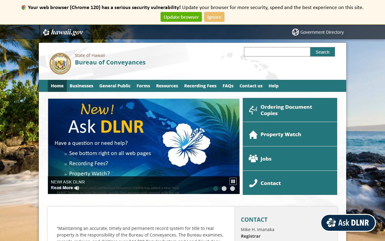 Hawaii's dual recording system means that some parcels are registered under Land Court (also called the Torrens system), while others are recorded under the Regular System. Both systems are searchable through the Bureau of Conveyances. Land Court parcels have a Certificate of Title, and any transfers or encumbrances must be registered with the Land Court before they take effect. Regular System documents are recorded by date and indexed by grantor and grantee. If you're researching a Kalaupapa parcel and aren't sure which system applies, searching both in RecordEASE is the safest approach.
Note: Hawaii is one of the few states where all property recording is centralized at the state level through the Bureau of Conveyances rather than at county recorder offices.
Historical Records and the Hawaii State Archives
For Kalawao County, historical property records take on particular importance. Land ownership on the peninsula goes back to the Kingdom of Hawaii era, and many of the original land grants were issued through the Great Mahele of 1848, which divided the land among the crown, the government, ali'i (chiefs), and commoners. Land Commission Awards from that period established the basis for many private land claims across Hawaii, and any private parcel on the Kalaupapa Peninsula likely traces its roots to those early awards.
The Hawaii State Archives holds many of these historical documents, including Land Commission Award records, Royal Patent Grants, and conveyance records from the Kingdom era through statehood. If you're trying to establish a chain of title for an older parcel or locate historical records that predate the Bureau of Conveyances, the State Archives is the right place to start. Researchers can access the archives in person in Honolulu or through correspondence. Some digitized records are available online through the Hawaii Digital Library and related collections.
Genealogical records connected to Kalawao County can sometimes help establish property ownership history. The county's history as a settlement site means that patient records, family records, and land-use documents have been preserved in multiple archives. The Kalawao County historical reference at Forebears provides context on the county's demographic history, which can be useful background for property research involving long-standing family land claims.
Historical records for the Kalaupapa settlement are also maintained by the National Park Service. The Kalaupapa National Historical Park archive holds photographs, patient records, and administrative documents that may help researchers understand how specific parcels were used and by whom over time.
Note: The Hawaii State Archives is located in Honolulu and holds Kingdom-era land records relevant to any Kalawao County parcel with deep historical roots.
Public Access Rights Under UIPA
Hawaii's Uniform Information Practices Act (UIPA) governs public access to government records in the state, including property-related records held by state and county agencies. Under UIPA, members of the public can request access to records maintained by state agencies, which is relevant for Kalawao County since the Department of Health administers the county. If you need records held by the Department of Health in its capacity as county administrator, a UIPA request is the formal mechanism for getting them.
Requests can be directed to the relevant agency's designated UIPA officer. Response times and any applicable fees for copying are governed by the Act. Most property-related records that are not already available online through qPublic or the Bureau of Conveyances can be accessed this way. The Hawaii government's main portal at hawaii.gov provides agency contact information and guidance on filing public records requests.
For records held by the National Park Service, including any administrative records about specific Kalaupapa parcels within the park boundaries, a request under the federal Freedom of Information Act (FOIA) applies instead of UIPA. NPS records about the park's land management history can shed light on how specific parcels were acquired and what encumbrances may exist.
Note: UIPA applies to state agency records; for NPS-held records about Kalaupapa parcels within the national park, a federal FOIA request is the correct process.
Second Circuit Court and Property Litigation
Court records related to property in Kalawao County, including foreclosure filings, quiet title actions, partition suits, and probate proceedings that affect real estate, fall under the jurisdiction of the Second Circuit Court. The Second Circuit covers Maui, Molokai, and Lanai, and Kalawao County falls within this circuit as part of the Molokai judicial area.
Case records for the Second Circuit can be searched through the Hawaii Judiciary's public portal, eCourt Kokua, at courts.state.hi.us. The system lets you look up civil, probate, and land court cases by party name or case number. Land Court matters, which include petitions to register title and requests to note encumbrances on existing certificates of title, are handled through the Land Court Division of the Hawaii Judiciary and are searchable through the same system.
Probate records can affect property ownership when an estate includes real property in Kalawao County. Probate proceedings for decedents who owned Kalaupapa parcels would be filed in the Second Circuit Court's probate division. Those records become part of the public file and can establish the chain of title for a parcel that passed through an estate. Searching eCourt Kokua by the deceased person's name is usually the starting point for this kind of research.
Note: eCourt Kokua provides case status and party name data for most civil filings; contact the Second Circuit Court clerk's office directly to obtain copies of specific case documents.
Maui County Assessment Division Contact
Since Maui County handles all real property assessment functions for Kalawao County, any question about parcel valuation, TMK assignments, tax bills, or exemption applications for Kalaupapa properties goes to the same office that handles Maui parcels.
| Office | Real Property Assessment Division |
|---|---|
| Address | 70 E. Kaahumanu Avenue, Suite A-16, Kahului, HI 96732 |
| Main Phone | (808) 270-7297 |
| Appraisal Questions | (808) 270-7798 |
| Tax Bills | (808) 270-7697 |
| Tax Maps / Ownership | (808) 270-7226 |
| Exemptions / Mailing Address | (808) 270-7871 |
| RPA@co.maui.hi.us |
For any privately held parcel in Kalawao County, the assessment process, exemption programs, and appeal procedures are the same as for Maui County parcels. The April 9 annual appeal deadline and the December 31 exemption filing deadline both apply. If you own property on the Kalaupapa Peninsula and have questions about your assessment or tax bill, this is the office to contact.
Note: Online tax payments for any Maui County or Kalawao County parcel can be made at qpublic.net/hi/maui or by calling 1-833-312-0151.
Cities in Kalawao County
Kalaupapa is the only settlement in Kalawao County. It is within the Kalaupapa National Historical Park and is not served by a separate city property records page.
Other Hawaii Counties
Property records for Hawaii's other counties are managed through each county's own assessment division and search portals.